Our Trailheads
Montana's Rocky Mountain Front - Departure points for your Western Adventure
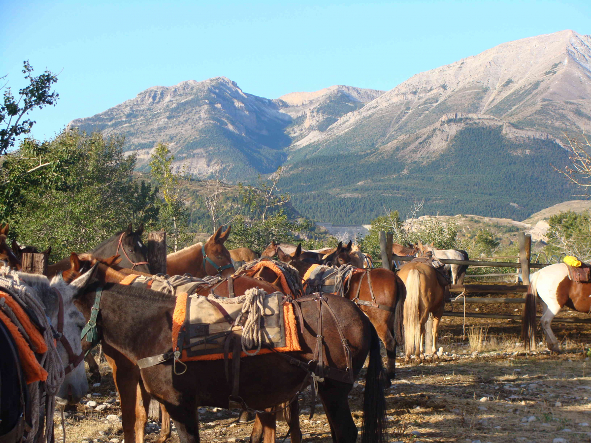
At A Lazy H we use multiple trailheads along the eastern slope of the Rockies. These trailheads range from the south at the Dearborn River to Glacier Park in the north. We utilize private and public trailhead facilities depending on the type of season and location.
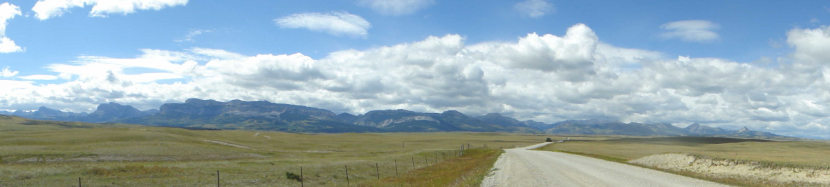
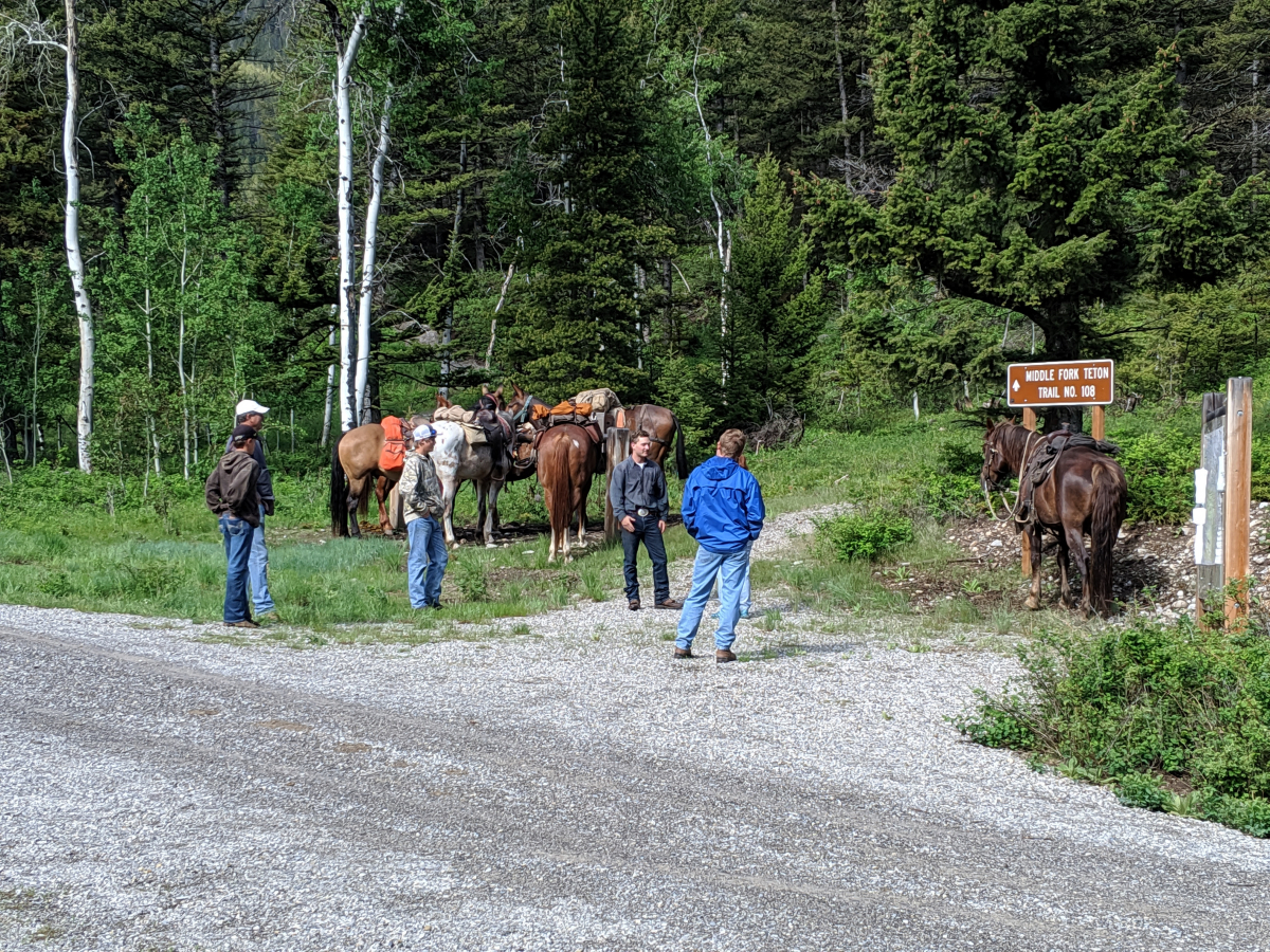
Choteau - Teton River
Our headquarters facilties are near Choteau. This is where we stage most of the summer horse packing and fishing trips. Additionally, Choteau serves as the location we recommend our guests stay the night before all trips depart as it's closest to most all of our starting points. We have several places near Choteau and west of Choteau that we use as a base of our entire operation. Additionally, near Choteau there are trailheads on the North Fork, West Fork, Middle Fork and South Fork of the Teton River. Our most used trailheads near Choteau are the South Fork Teton (Headquarters Pass) and Middle Fork Teton (Route Creek Pass).
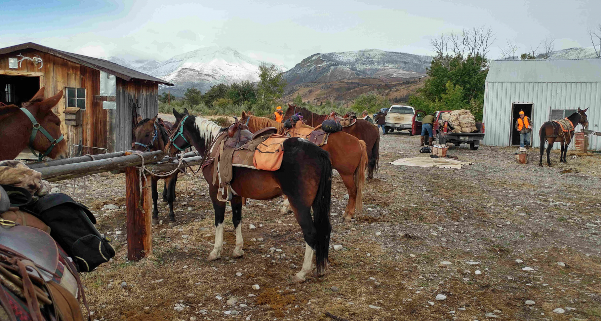
Birch Creek - Swift Dam
Swift Dam is an irrigation reservoir impounding Birch Creek at the canyon where it leaves the mountains. Due to the 200ft deep lake behind the dam, the dam area serves as the Birch Creek (North Fork and South Fork) trailheads. This area is the starting point for our early season fall hunting operation and several of our summer trips. Back in 1995 we initially leased private property near the dam for our fall hunting base. In 2013 we purchased private property near the dam and that now serves as the base for our extensive early season fall hunting camps, both Big River Meadows and Strawberry Creek camps. This trailhead sits on the Birch Creek valley floor about a mile east of Swift Dam.
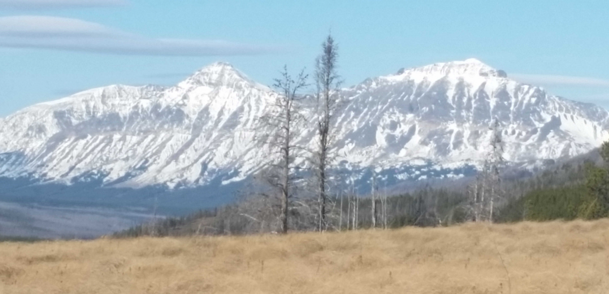
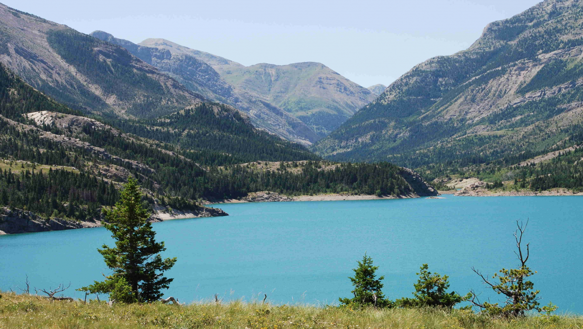
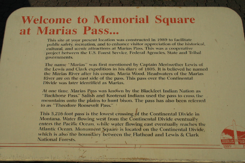
Summit - Marias Pass
The Summit trailhead is on a 400 yard wide swath of land on US Highway 2. It sits between Glacier Park and the Lewis & Clark National Forest. It's about 10 miles west of the resort / park entrance town of East Glacier Park. We use the Summit trailhead for our general season hunting camp in the South Fork Two Medicine River area. Occassionally we will come out here as well in the summer on specially designed traveling summer trips.
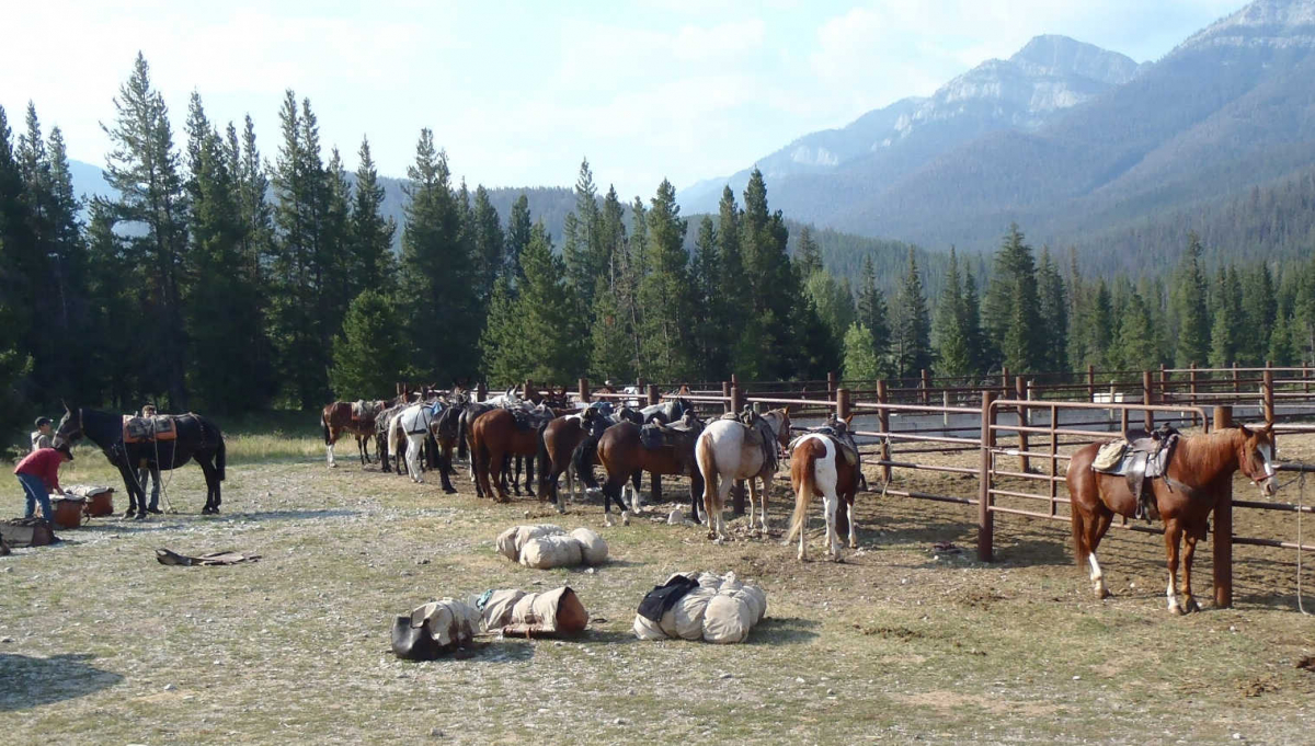
Augusta - Benchmark
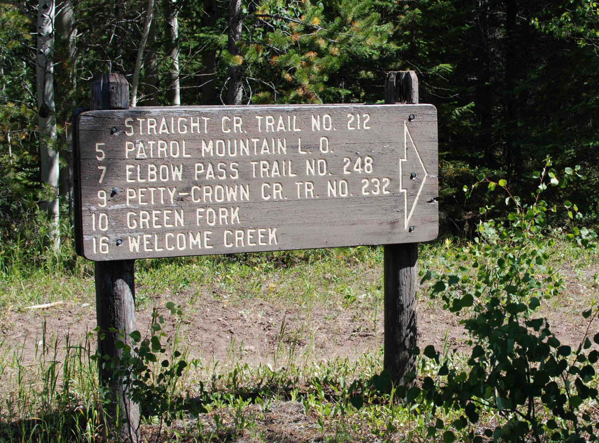
Benchmark trailhead is a very popular public access point on the South Fork of the Sun River west of Augusta. This area is a natural access point for several major drainages including the South and West Forks of th Sun River, Straight Creek, the Dannaher River, and the Dearborn River. We frequently take loop trips that begin and end at Benchmark. For example, one of our most popular fishing trips begins at the Teton trailhead and ends at Benchmark. We often begin our Chinese Wall trip here. Pretty Prairie is a short ride in from the Benchmark trailhead and a natural camping spot for a first night.
About
Circle 8 Outfitters (formerly A Lazy H Outfitters) is a family business operated by Joseph and Lis Haas. We have been taking guests and friends into the mountains for 100 years. We are passionate about providing you an extraordinary adventure into what we think is the coolest wild country in the lower 48 states.
GET IN TOUCH
- P.O. Box 167
Choteau, MT 59422 - Phone: (800) 893-1155
- Email: [email protected]
Regional Info
![]()
![]()
Our State
![]()
![]()