South Chinese Wall
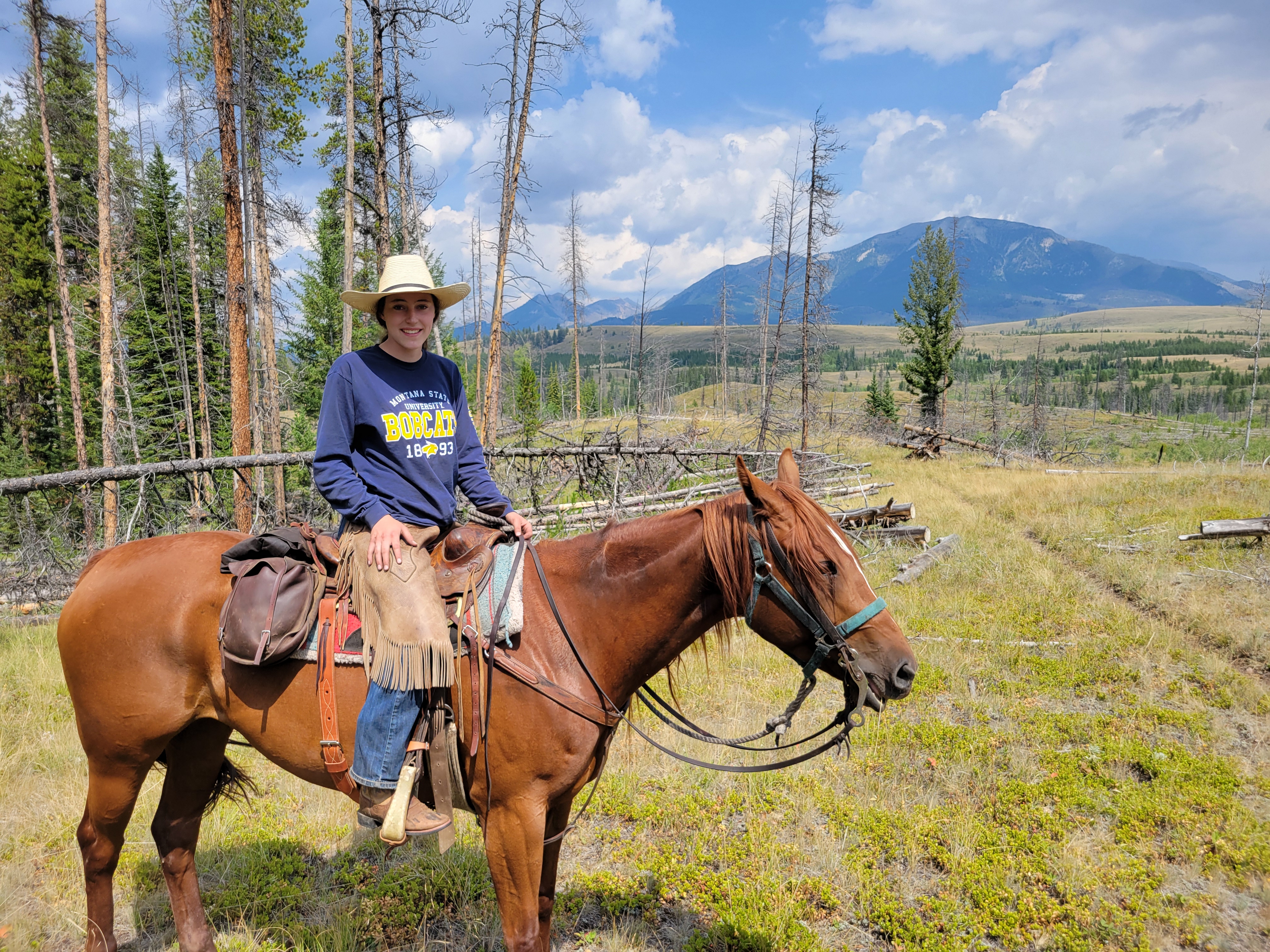
Riding - Outstanding Scenery - Photography - Exploring
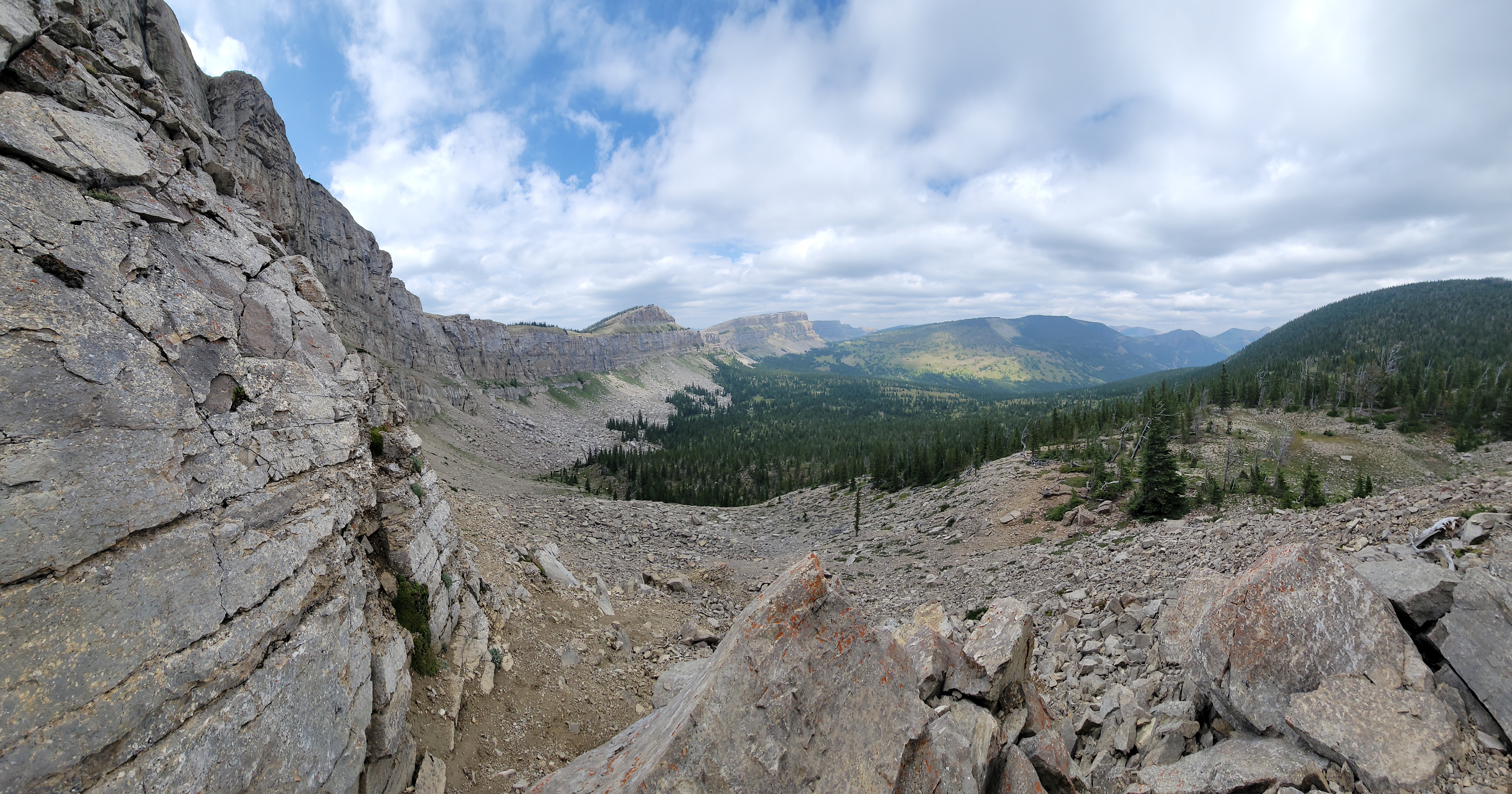
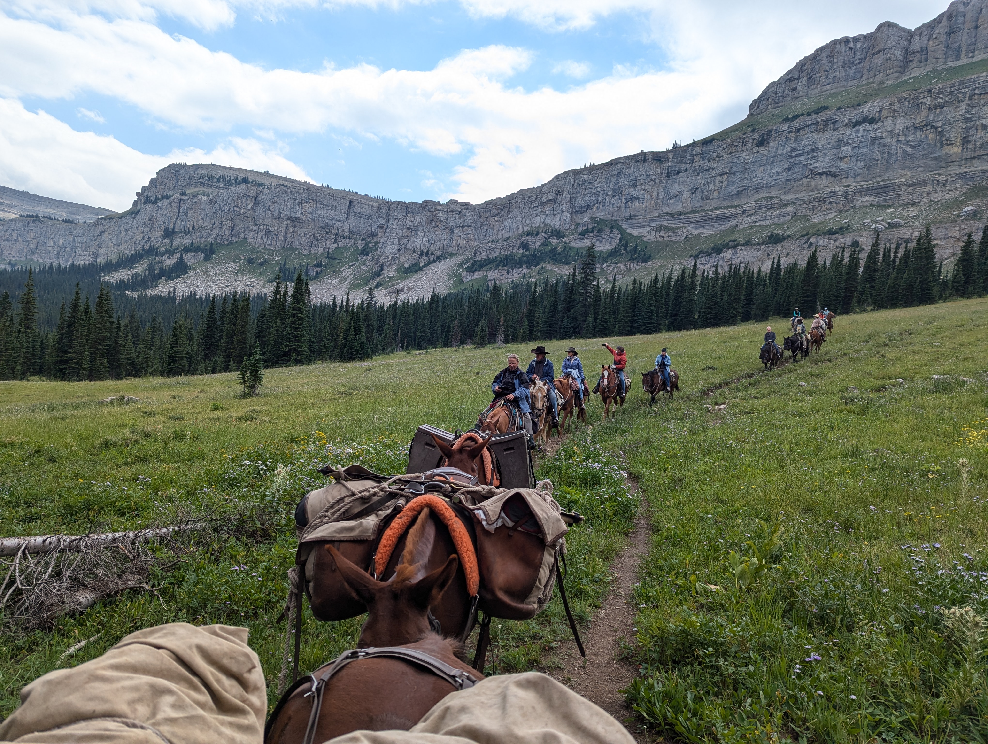
Traveling to the Chinese Wall is a keystone trip, covering over 70 miles of fantastic scenery and adventure. The Chinese Wall is a massive limestone cliff forming the Continental Divide for over 30 miles. The Wall has several sections, notable the area north of Red Shale Creek to the Open Fork, and the area south of Rock Creek to White River pass. The route of this trip takes us along the southern part from White River Pass area to Larch Hill Pass. The upper basins below the wall are spectacular with immense vistas, springs, wildflowers, and the occasional mountain goat or elk. If the pass is not too snowed in, we'll drop over Larch Hill pass and down into the head of White River. White River starts in a large glacial basin and drains the west side of the Wall. We begin and end this trip at different trailheads, and this is probably our most popular trip for unmatched scenery and riding opportunities.
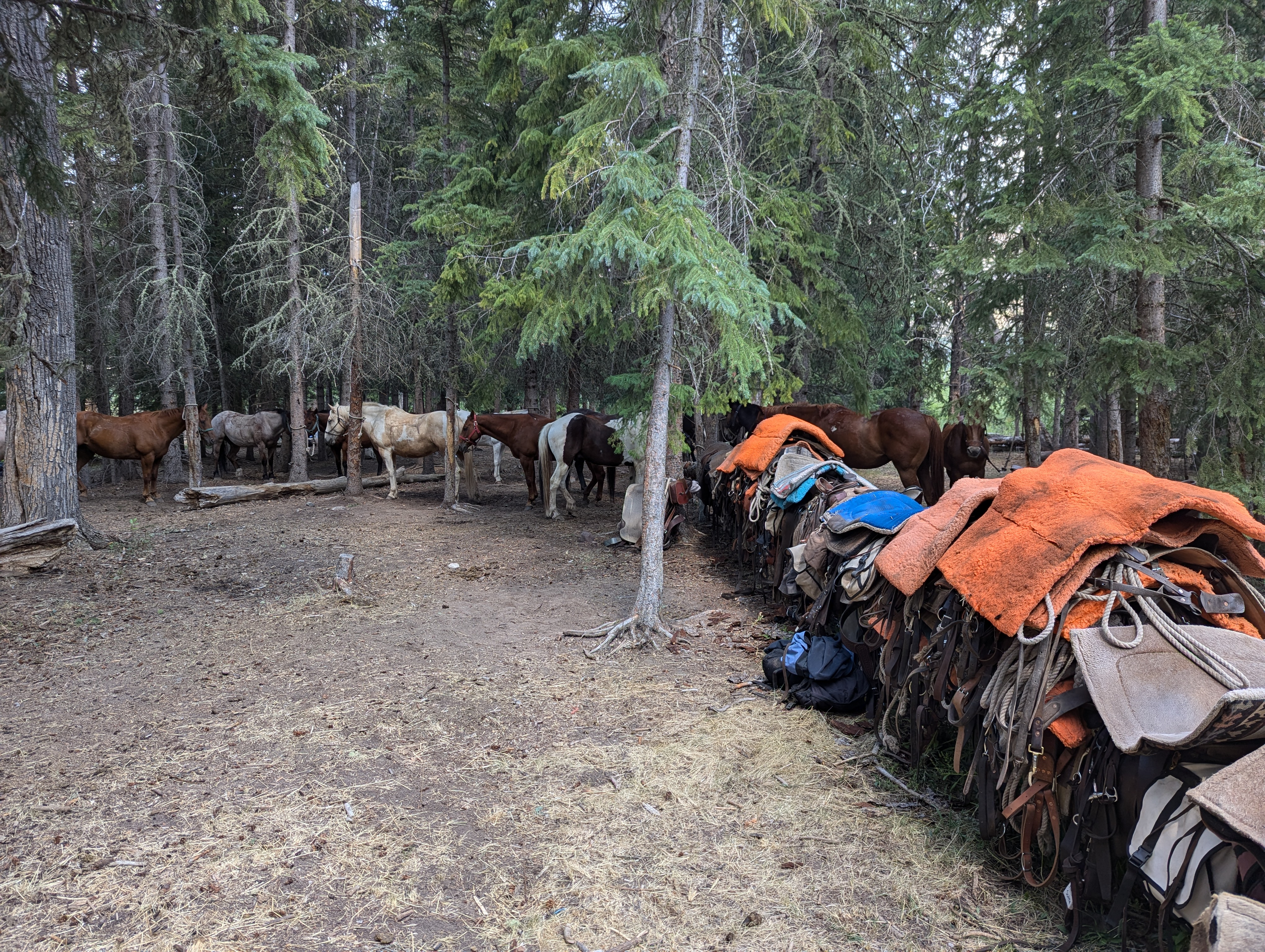
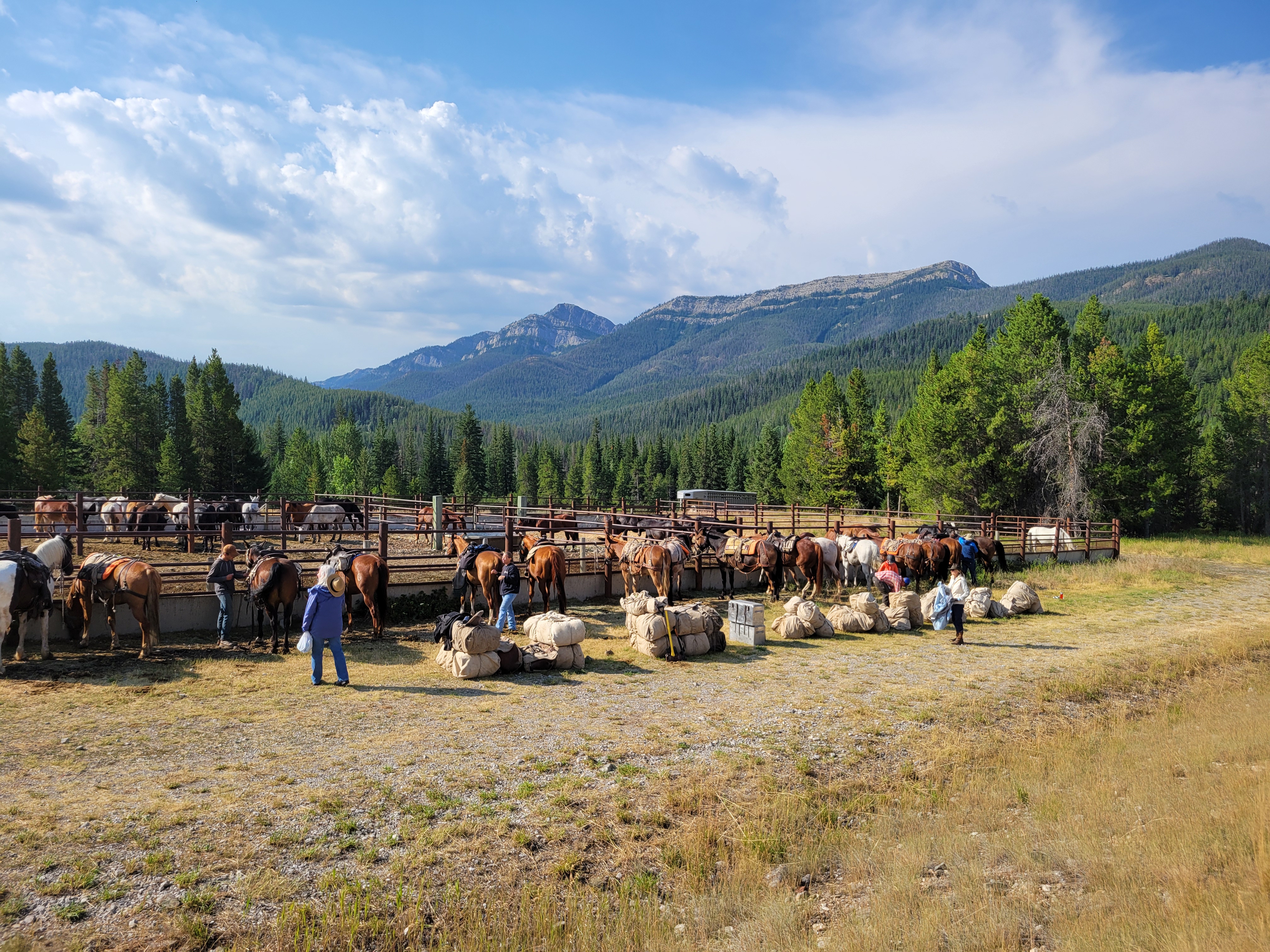
Day 1: We begin by packing up at the Benchmark trailhead west of Augusta. This is our furthest south departure point. The ride from Benchmark to our campsite at Pretty Prairie, on the South Fork of the Sun River, is a gentle ride through scattered timber before entering the South Fork valley where it opens up into wide vistas the beautiful country around Pretty Prairie. We camp at Pretty Prairie one night before heading out the next day. Riding distance 7 miles.
Day 2: Non travel day. We take our time to explore Pretty Prairie, which is aptly named. There is great fishing in the South Fork Sun River near camp. Also, the valley is broad and open and beacons us for some nice hikes to ridges above camp. Or, for the most adventurous we can take a day ride down to Sun Butte above the confluence of the North and South Forks of the Sun. Whichever you choose there are awesome photo opportunities in all directions.
Day 3: We pack up and head up the West Fork of the Sun River. This is a broad glacial valley with open country and high glacial cirques visible from the valley floor. This is a popular trail in the Bob Marshall so you will see other hikers and riders this day. We continue up the West Fork past Indian Point cabin and camp near on the West Fork this evening. This is a small camp nestled below Red Butte. There is a small range of red mountains right above us and make for a stunning sunrise the next morning if we have clear skies. Riding distance 10 miles.
Day 4: We pack up today for our most scenic day as we ride to the head of the West Fork of the Sun and drop into the basins at the head of Moose Creek and Rock Creek under the Chinese Wall. We ride most of the day along beneath the Chinese Wall in the broad glacial basins. Wild flowers, small glaciers, augment our spectacular ride. We do ocassionally see elk in these basins and mountain goats on the cliffs above us. At the first break in the cliffs we come to Larch Hill Pass, where we will cross the divide and drop into White River for the evening. Riding distance 15 miles
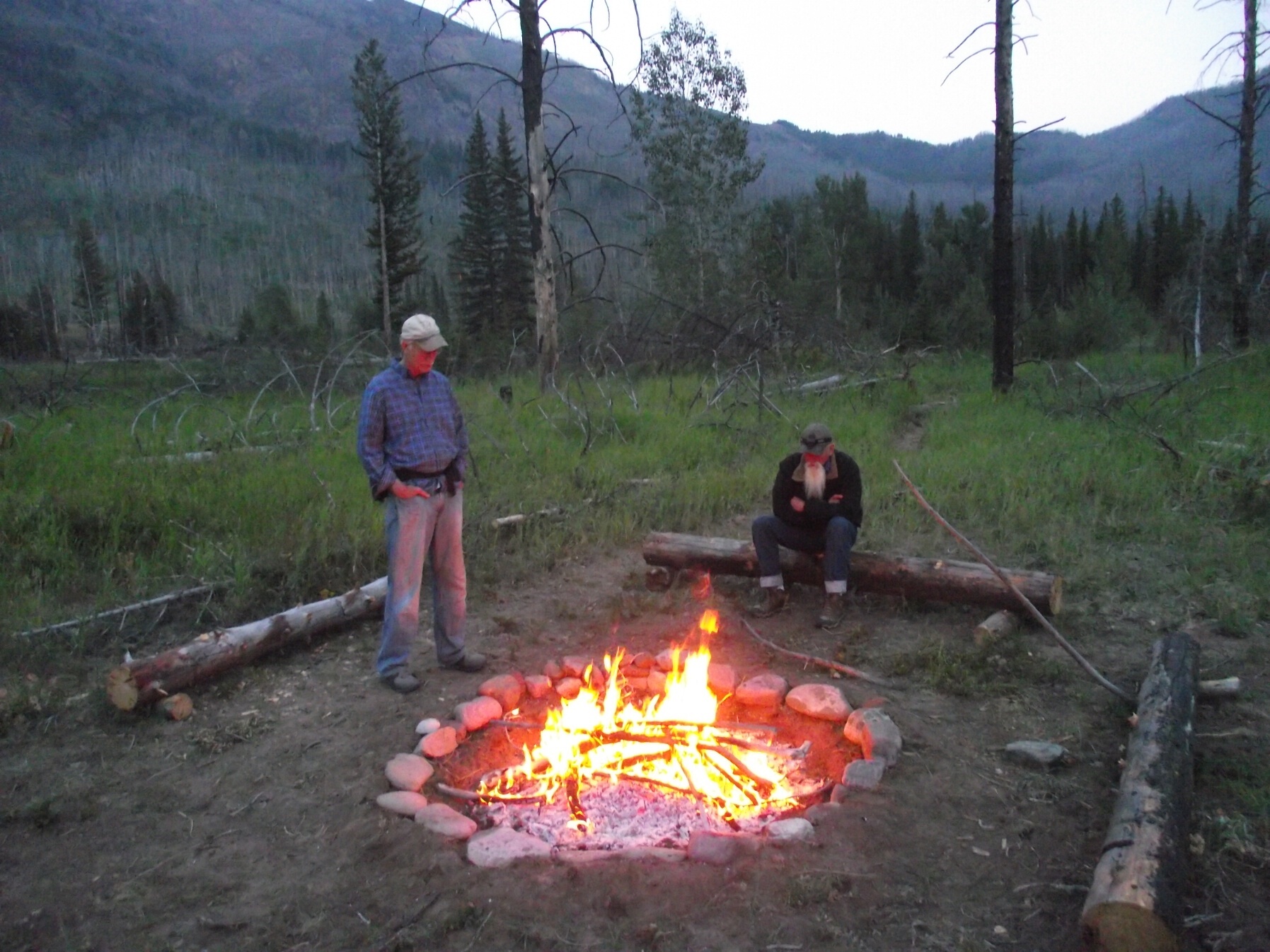
Day 5: Non travel day. The upper basin of White River is broad and full of small streams. Our camp here is nestled between the imposing Chinese Wall to the east and Silvertip Mountain to the west. A prettier camp would be hard to find. We explore this area by hiking or short day rides in the basin.
Day 6: We pack up and begin the climb out of White River up over Larch Hill Pass. At the top we turn east and head down towards My Lake, a small hidden gem nestled under the divide. We continue on down to the valley floor of Rock Creek and past Rock Creek cabin. This used to be the staging area for a nearby fire lookout on Moose Ridge on the imposing cliff strewn ridge above us to the south. The trail continues along a broad valley floor before we slowly turn north towards Gates Park where we arrive in camp that afternoon. This is a semi-permanent summer camp we set up and it's a welcome sight after an exhilerating day coming out of White River. Riding distance 18 miles.
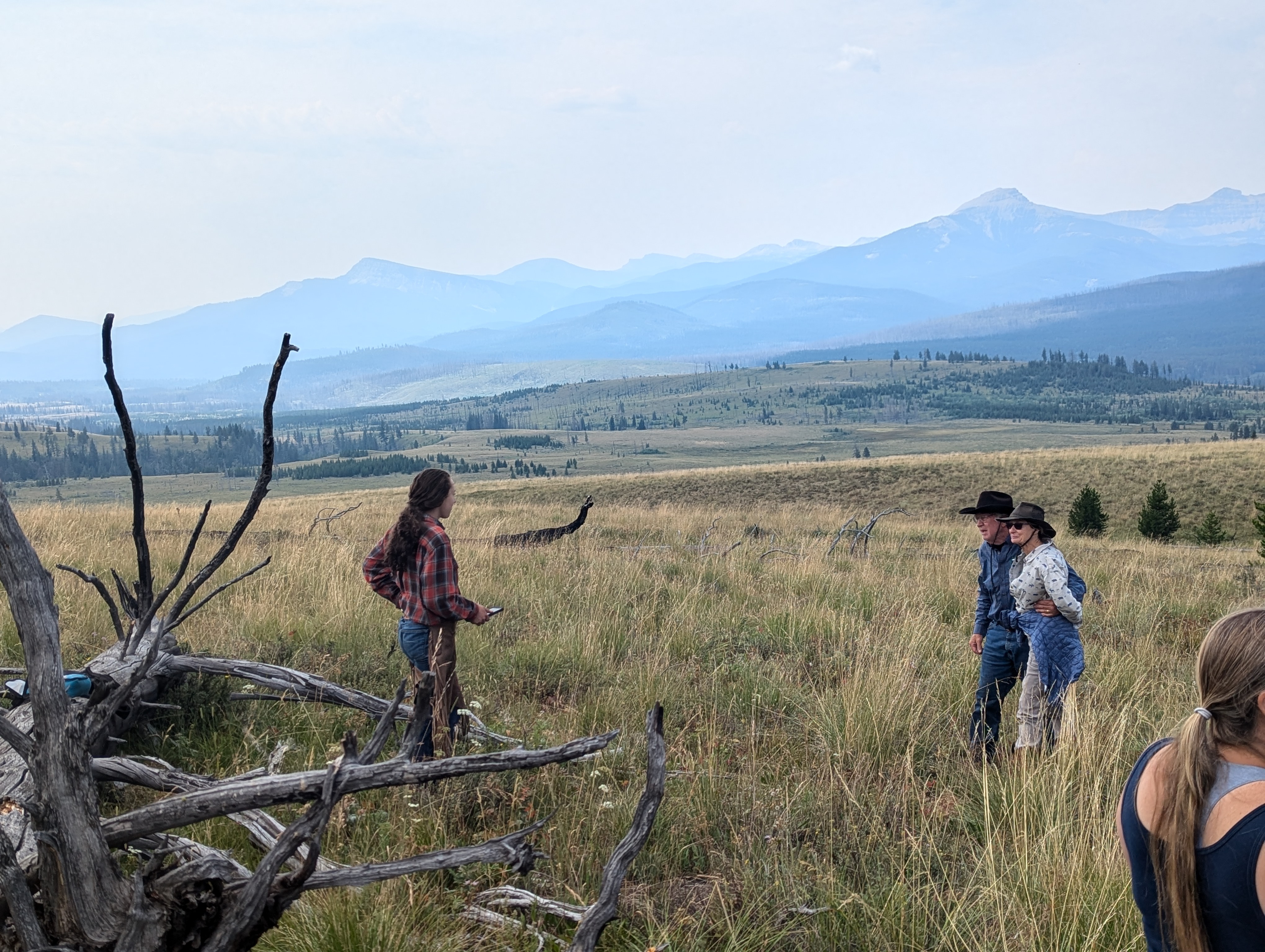
Day 7: Non travel day. There are plenty of options to explore by foot or horseback at Gates Park. This is a large meadow near the North Fork Sun River with miles of hiking and riding trails. We often take a day ride out to Biggs Creek Meadows for impressive views of the Chinese Wall in the distance and some perspective on our trip route so far. Your camera will get a real workout on this trip I assure you!
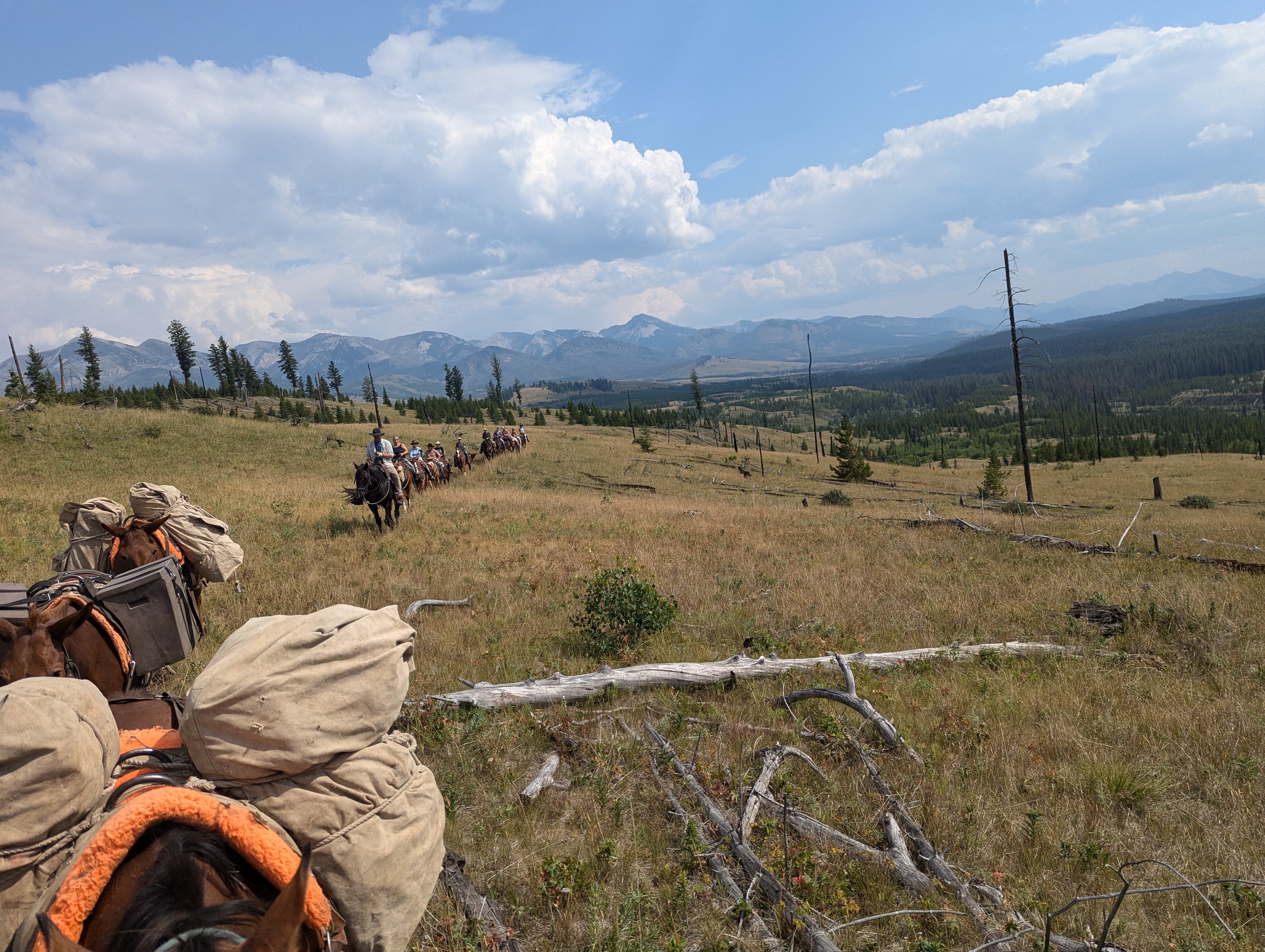
Day 8: Pack up from Gates Park camp and head on up Headquarters Creek. This is a gradual climb through scattered timber as we ascend to the basin below Headquarters Pass. After lunch, we make the final approach to the pass with stunning views of the Sun River valley to the west and the Rocky Mountain Front to the east. Our descent down from the pass goes quickly and we reach the end of our trip at the South Fork Teton trailhead. Riding distance 14 miles.
A downloadable topographical map of the trip route is available here: ChinaWall-Trip-Route (pdf)
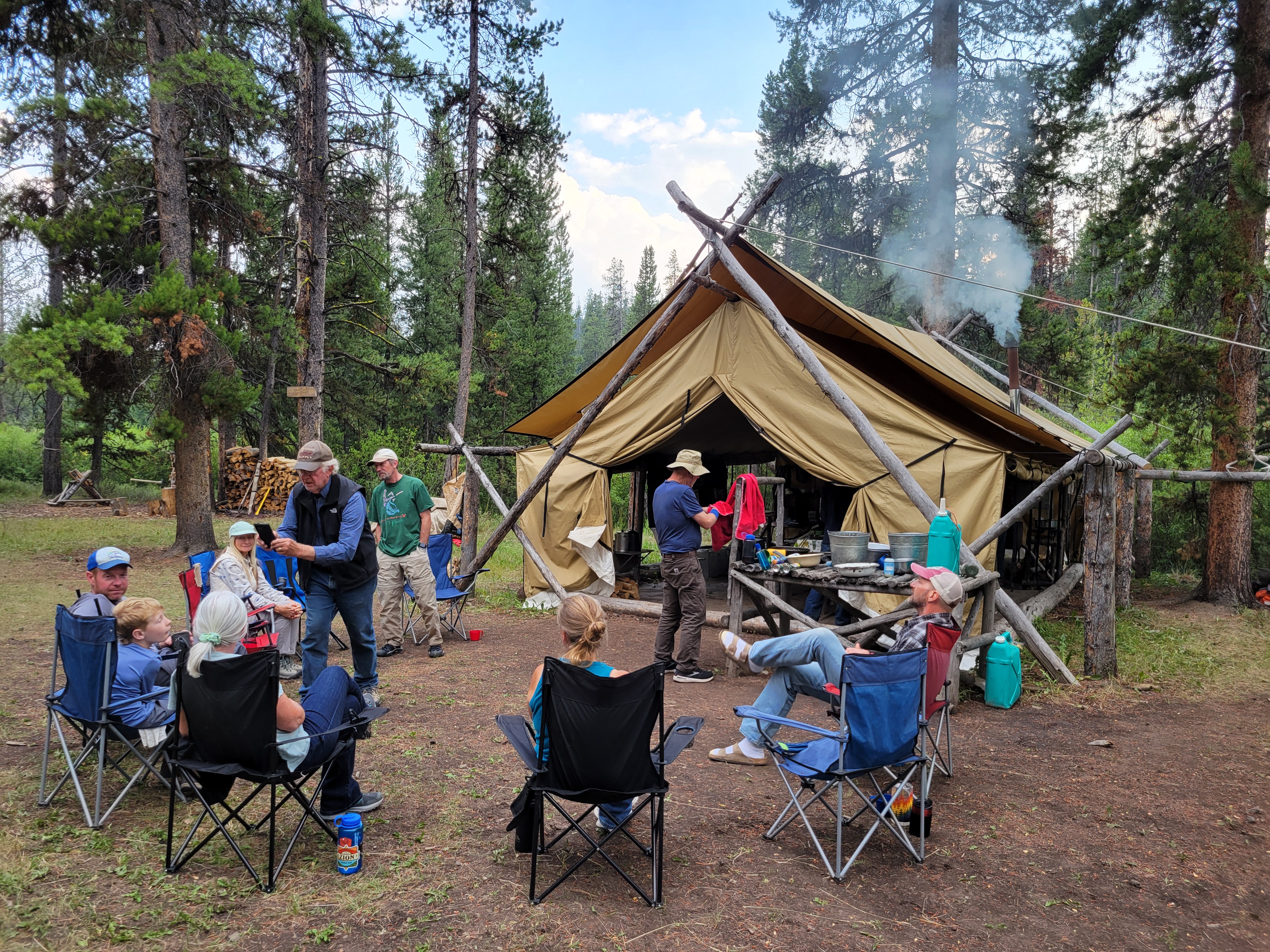
This trip covers a lot of country, so you will be horseback many days. The average travel day is 14 miles. The layover days offer outstanding options for fishing, hiking, or some short day-rides if you're up to more riding. The campsites along this trip are some of the most picturesque you will find anywhere, so definitely bring your camera. The horseback riding is unparalleled. The campsites each has it's own identity; from the wide open grassy meadow at Pretty Prairie to the secluded basin of upper White River, to the Gates Park camp - each has some unique opportunities for photography, hiking, day rides, or ocassionally fishing.
Of particular interest, due to the absolute remote nature of the Bob Marshall, there is zero light polution, and near perfectly clear skies. The deep evening star gazing is intensely beautful, where you can see brilliantly our evening constellations, the Milky Way galaxy, and numerous shooting stars. This is a unique and rare opportunity to see our night time sky in a way you've not seen it before. The days are long out here, so plan on staying up late as sunset is about 10pm.
This trip travels through some of the highest country in the Bob Marshall. Weather can be a little unpredictable up along the continental divide, so it's good to bring layers that give you options to deal with highly variable weather conditions. Rain gear is crucial, as well as good outter wear for random windy conditions. It can be hot this time of year (it is August after all!) so being able to stay comfortable up to 80F is important as well. This is one of our longer trips, so you'll want to have a few more change of clothes as everything gets dirty in the mountains over time. There are some fishing opportunities on lay over days, so if you want to get a little fly fishing in by all means do so. The recommended fishing gear and camping gear is available below for download.
About
Circle 8 Outfitters (formerly A Lazy H Outfitters) is a family business operated by Joseph and Lis Haas. We have been taking guests and friends into the mountains for 100 years. We are passionate about providing you an extraordinary adventure into what we think is the coolest wild country in the lower 48 states.
GET IN TOUCH
- P.O. Box 167
Choteau, MT 59422 - Phone: (800) 893-1155
- Email: [email protected]

